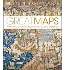
In this new digital age, for many people maps have become that little voice speaking to you out of your smartphone as you navigate a new city. But we all remember, and many still use, the paper version. Before the age of satellite imagery and GPS systems, maps were a vital way to explain, explore, and illustrate our world. The Smithsonian Museum, in partnership with DK Books has published a beautifully illustrated and photographed guide to historical maps, called Great Maps: The World’s Masterpieces Explored and Explained. This large format book features photos, details, and explanations of the world’s most well-known historical maps of the earth, the stars, and cultures too, from Iron Age petroglyphic art, to Asian star and constellation chart to diagrams of mytical utopias and all the way to the modern London Underground subway chart. The last entry in this list is, of course, Google Earth. So much extra information is covered in picture and diagram, that this book would find a good audience with any historian, art collector, arm chair traveler, and of course map enthusiast.
You can get the book reviewed here and more great titles to watch, read, listen to, or play with at the Port Library at 1718 N. Hersey in Beloit. This is director Rachel Malay, saying “Thanks for checking us out!”
Great Maps: the World's Masterpieces Explored and Explained by Jerry Brotton, published by the Smithsonian Museum and DK Publishing.
ISBN: 9781465424631, 256 pages, fully illustrated
Non fiction, history section
 RSS Feed